

The Science of Where: An Introduction to Geospatial Technology
In our increasingly data-driven world, one of the most critical and often overlooked dimensions of information is location. The technology and science dedicated to understanding this "where" factor is known as Geospatial analysis. It involves gathering, managing, analyzing, and visualizing data that has a geographic component, turning raw location data into actionable intelligence. This discipline is moving from a niche scientific field to a foundational component of modern business and government operations. The growing investment in location intelligence is evident in market forecasts, which estimate that the global market is set to reach a valuation of USD 274.41 million by 2035, growing at a steady compound annual growth rate (CAGR) of 9.12% during the 2025-2035 forecast period. This signifies a strong and growing commitment to leveraging location as a strategic asset.
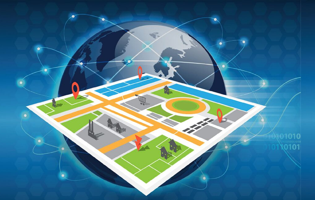
The core of geospatial technology is built upon several key pillars. The most well-known is the Global Positioning System (GPS), a satellite-based system that provides precise location and time information anywhere on Earth. This data is then often used within a Geographic Information System (GIS), which is a powerful software framework for capturing, storing, analyzing, and visualizing geospatial data. GIS allows users to create intelligent maps with multiple layers of information, such as property lines, road networks, and demographic data. A third pillar is Remote Sensing, which involves acquiring information about the Earth's surface from a distance, primarily through satellites and drones. These technologies work in concert to provide a comprehensive understanding of our world.
The practical applications of geospatial technology are vast and transformative, touching nearly every industry. In urban planning and smart city development, it is used to model traffic flow, optimize public transport routes, and plan the location of new infrastructure and services. The agriculture industry leverages it for "precision farming," using GPS and drone imagery to apply water and fertilizer only where needed, which increases crop yields and reduces environmental impact. In disaster management, geospatial tools are critical for mapping the extent of floods or wildfires, identifying vulnerable populations, and coordinating emergency response efforts. This ability to provide a clear, location-based view of complex situations is what makes the technology so invaluable.
The power of geospatial analysis lies in its ability to reveal patterns, relationships, and trends that would otherwise be invisible. By mapping data, analysts can answer critical questions like "Where are my most profitable customers located?" or "Which areas are at the highest risk for a natural disaster?" This spatial context adds a powerful new dimension to decision-making. From a retail company choosing the optimal location for a new store to an environmental agency monitoring deforestation, geospatial technology provides the essential "where" that leads to smarter, more effective, and data-driven outcomes, cementing its role as an indispensable tool for the 21st century.
Explore Our Latest Regional Trending Reports!
Italy Direct Carrier Billing (DCB) Market